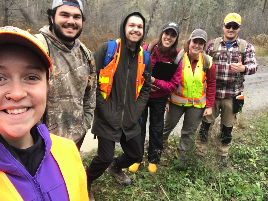
The Forestry and Environmental Management 4th-year students have to put their research skills and knowledge into practice when it comes to the ENR 4020 course. The course takes place across both the fall and winter term. At the beginning of the Fall term, the students form groups and are provided with a list of environmental topics they can choose from. The ENR 4020 group composed of Rachael Moran, Bethany Goodine, Mike Betts, Cam Solda, Kristine Hanifen, and Matt Warner, worked on providing New Brunswick with the option of increasing the number of protected areas in the province by defining riparian ecosystem boundaries.
Riparian ecosystems are zones along rivers and streams that are very important ecologically. The group explained that riparian ecosystems are a great option for increasing protected areas as they provide habitat for many species who rely on aquatic and upland environments. Riparian ecosystems are already partially protected through the 30-metre buffers outlined in the province’s Clean Water Act, explained the group.
The team said the project allowed them to get first-hand experience with managing a current environmental issue, working with a client, and thinking about how to best manage for all interested stakeholders.
The professors of the course Brian Sergeant and Dr. Ted Needham helped and guided the students throughout the project, but they also received feedback from other professors in the faculty. Jae Ogilvie, a UNB research associate and director of Geomatic Developments, helped them with their Geographic Information System (GIS) mapping.
The team defined riparian ecosystem boundaries using the ecological function of the ecosystem (exchange of energy and nutrients in the food chain). The functions include filtering nutrients, sediments and pollution, providing habitat for riparian-dependent species, moderating stream temperature, allowing coarse woody debris and litter inputs to the stream, and facilitating connectivity between different environments. The full riparian ecosystem would allow for all these functions to occur, explained the team.
The team described how their project consists of three zones. Zone 1 is dependent on the size of the area of saturated soils, zone 2 is based on habitat requirements of riparian-dependent wildlife species, zone 3’s width is calculated using an algorithm that is dependent on the slope. Using the three zones to determine the boundary of an ecosystem will allow the ecosystem functions to take place, said the team.

The figure above is a conceptual diagram that shows the three adjacent zones to rivers that need to be spatially defined to protect an entire functioning riparian ecosystem. (figure provided by the students)
According to the team’s research, New Brunswick currently has 4.6% of its land designated as a protected natural area. The province has stated that they want to increase the amount of protected land to 10% by the end of 2020, and the 4020 team believes that their project would be a good way to achieve that goal.
“The project is a viable way for the province to increase its protected areas. Within our project we suggest different management applications they could use, such as the option of using riparian ecosystems to protect for wood turtles and endangered species here in New Brunswick,” said the team.